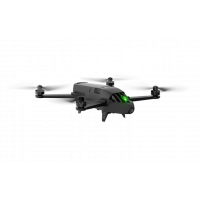
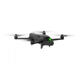
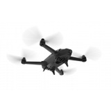
PARROT BLUEGRASS
FEATURES
Parrot Bluegrass is a multipurpose quadcopter designed for agriculture that helps farmers improve their ROI, using its 2 embedded cameras; video camera and Parrot Sequoia multispectral sensor. With its Full HD front camera, this solution includes visual monitoring of land, herd and infrastructure. It also provides a quick and easy analysis on the health of crops, thanks to the user friendly processing software, AIRINOV FIRST+. Parrot Bluegrass is easy to transport due to its removable propellers and is easy to: set up, fly, process data and repair
FIND OUT MORE ABOUT THE HEALTH OF YOUR CROPS
Parrot Bluegrass is equipped with the multispectral sensor, Parrot Sequoia. This small, light, multispectral camera captures 4 spectral bands in visible light and non-visible infrared light to analyze the health status of the crop. Parrot Sequoia has a 16 MP RGB camera and an internal memory capacity of 64GB. Parrot Sequoia also comes with a sunshine sensor that not only records the current lighting conditions, but also the GPS location and inertial data. Parrot Sequoia's data can be used with processing software, such as Pix4Dag or AIRINOV FIRST+ cloud platform, to generate an index map of the field to monitor crop that needs scouting and optimized treatment.
MULTIPURPOSE DRONE FOR YOUR FARM
Designed to be easy to use and pilot, Parrot Bluegrass combines an aerodynamic design, advanced autopilot, powerful engines with a high capacity battery. The drone can execute flights very precisely thanks to Parrot Skycontroller 2 in a range of 2km (1.2 miles). Parrot Bluegrass transmits videos taken by its front camera to the controller, enabling the farmer to inspect his farm, monitor his herds and get an overview of his land.
AUTOMATIC CROP MAPPING WITH PIX4DCAPTURE
Pix4Dcapture is a simple app that allows you to plan automatic flights above your land. The interface enables you to accurately define the area you want to fly over and at what altitude, giving you the chance to closely follow the status of your flight. Parrot Bluegrass can cover up to 30 hectares at 70 m / 230 ft. flight altitude.
PRODUCT SPECIFICATIONS
OVERVIEW
Area Coverage: 30ha (74ac) in a single flight at 70m flight altitude (230ft)
Range: Up to 2km - 1.2 miles, in an unobstructed area free of interferences
Ground resolution: 7.4cm/px (2.7in/px) at 70m (230ft) flight altitude
Automatic flight plan powered by Pix4Dcapture mobile app
Vertical take-off and landing
GENERAL
Weight: 1850g / 4lb
Size: 50 x 44 x 12 cm / 20 x 17 x 5 in.
Removable propellers for transport
PHOTO AND VIDEO
Photo: 14MP wide angle camera
Video: 1080p Full HD
Video streaming: 360p / 720p
Internal Video Memory: 32GB
WI-FI AND TRANSMISSIONS
Range: Up to 2km with Parrot Skycontroller 2, in an unobstructed area free of interferences
Wi-Fi AC-type, 2 bi-band antennas (2,4 and 5GHz)
HIGH CAPACITY BATTERY
Battery life: 25min
6700 mAh Lipo Battery
SENSORS
Built-in GPS + GLONASS
Inertial Navigation System
Altimeter
Ultrasonic sensor
Optical flow vertical camera
PB Tech
Bluegrass
Out of stock
FEATURES
Parrot Bluegrass is a multipurpose quadcopter designed for agriculture that helps farmers improve their ROI, using its 2 embedded cameras; video camera and Parrot Sequoia multispectral sensor. With its Full HD front camera, this solution includes visual monitoring of land, herd and infrastructure. It also provides a quick and easy analysis on the health of crops, thanks to the user friendly processing software, AIRINOV FIRST+. Parrot Bluegrass is easy to transport due to its removable propellers and is easy to: set up, fly, process data and repair
FIND OUT MORE ABOUT THE HEALTH OF YOUR CROPS
Parrot Bluegrass is equipped with the multispectral sensor, Parrot Sequoia. This small, light, multispectral camera captures 4 spectral bands in visible light and non-visible infrared light to analyze the health status of the crop. Parrot Sequoia has a 16 MP RGB camera and an internal memory capacity of 64GB. Parrot Sequoia also comes with a sunshine sensor that not only records the current lighting conditions, but also the GPS location and inertial data. Parrot Sequoia's data can be used with processing software, such as Pix4Dag or AIRINOV FIRST+ cloud platform, to generate an index map of the field to monitor crop that needs scouting and optimized treatment.
MULTIPURPOSE DRONE FOR YOUR FARM
Designed to be easy to use and pilot, Parrot Bluegrass combines an aerodynamic design, advanced autopilot, powerful engines with a high capacity battery. The drone can execute flights very precisely thanks to Parrot Skycontroller 2 in a range of 2km (1.2 miles). Parrot Bluegrass transmits videos taken by its front camera to the controller, enabling the farmer to inspect his farm, monitor his herds and get an overview of his land.
AUTOMATIC CROP MAPPING WITH PIX4DCAPTURE
Pix4Dcapture is a simple app that allows you to plan automatic flights above your land. The interface enables you to accurately define the area you want to fly over and at what altitude, giving you the chance to closely follow the status of your flight. Parrot Bluegrass can cover up to 30 hectares at 70 m / 230 ft. flight altitude.
PRODUCT SPECIFICATIONS
OVERVIEW
Area Coverage: 30ha (74ac) in a single flight at 70m flight altitude (230ft)
Range: Up to 2km - 1.2 miles, in an unobstructed area free of interferences
Ground resolution: 7.4cm/px (2.7in/px) at 70m (230ft) flight altitude
Automatic flight plan powered by Pix4Dcapture mobile app
Vertical take-off and landing
GENERAL
Weight: 1850g / 4lb
Size: 50 x 44 x 12 cm / 20 x 17 x 5 in.
Removable propellers for transport
PHOTO AND VIDEO
Photo: 14MP wide angle camera
Video: 1080p Full HD
Video streaming: 360p / 720p
Internal Video Memory: 32GB
WI-FI AND TRANSMISSIONS
Range: Up to 2km with Parrot Skycontroller 2, in an unobstructed area free of interferences
Wi-Fi AC-type, 2 bi-band antennas (2,4 and 5GHz)
HIGH CAPACITY BATTERY
Battery life: 25min
6700 mAh Lipo Battery
SENSORS
Built-in GPS + GLONASS
Inertial Navigation System
Altimeter
Ultrasonic sensor
Optical flow vertical camera
Related Products
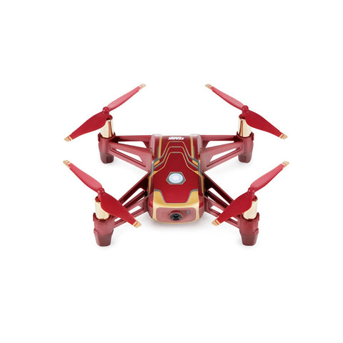
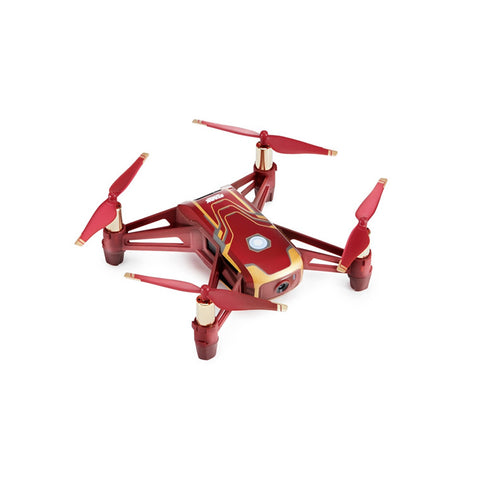
DJI Tello Drone Iron Man Special Edition
Features In operating these drones you become a pilot with responsibilities and must comply with the rules found at: www.caa.govt.nz/rpas ...
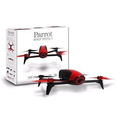
Parrot BeBop Drone 2 with 14 Megapixel Flight Camera (Red)
Features The Bebop 2 combines aerodynamics, style and robustness in a lightweight and compact drone. Your flying companion - Lightweigh...
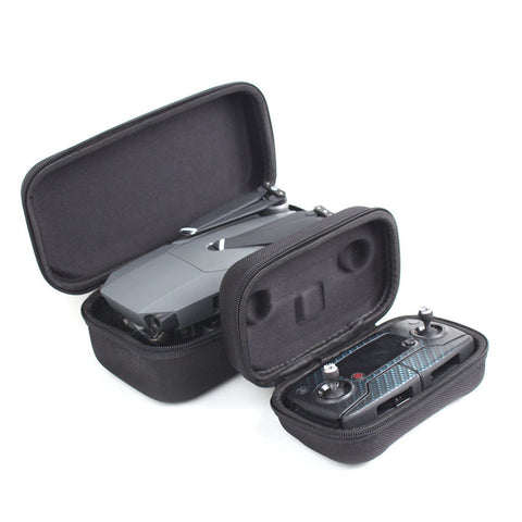
MAVIC PRO SMALL CASE
FEATURES This is the perfect simple case to store your Mavic Pro in. One case fits the Mavic and one fits the controller. The case fits easily in...